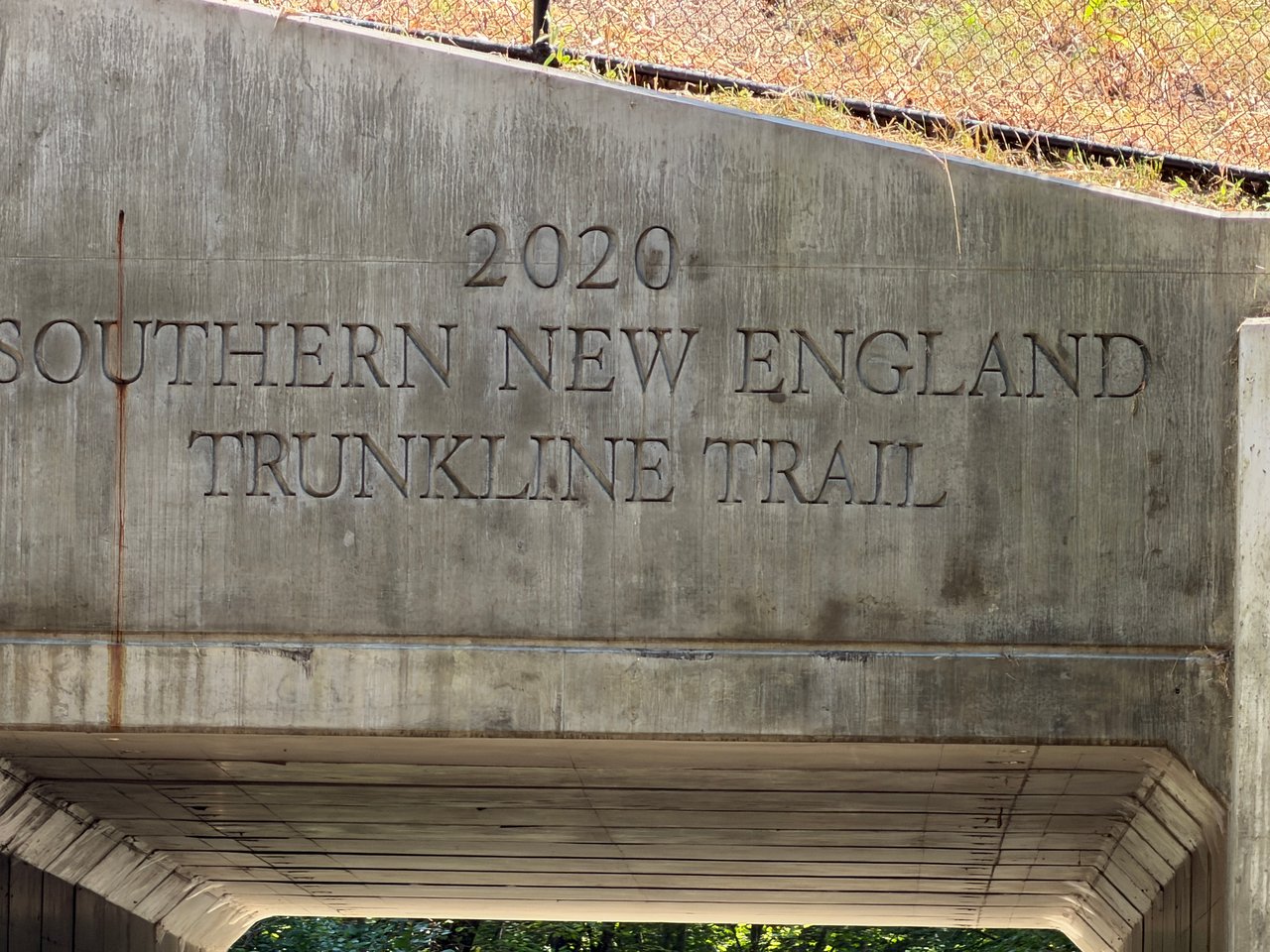
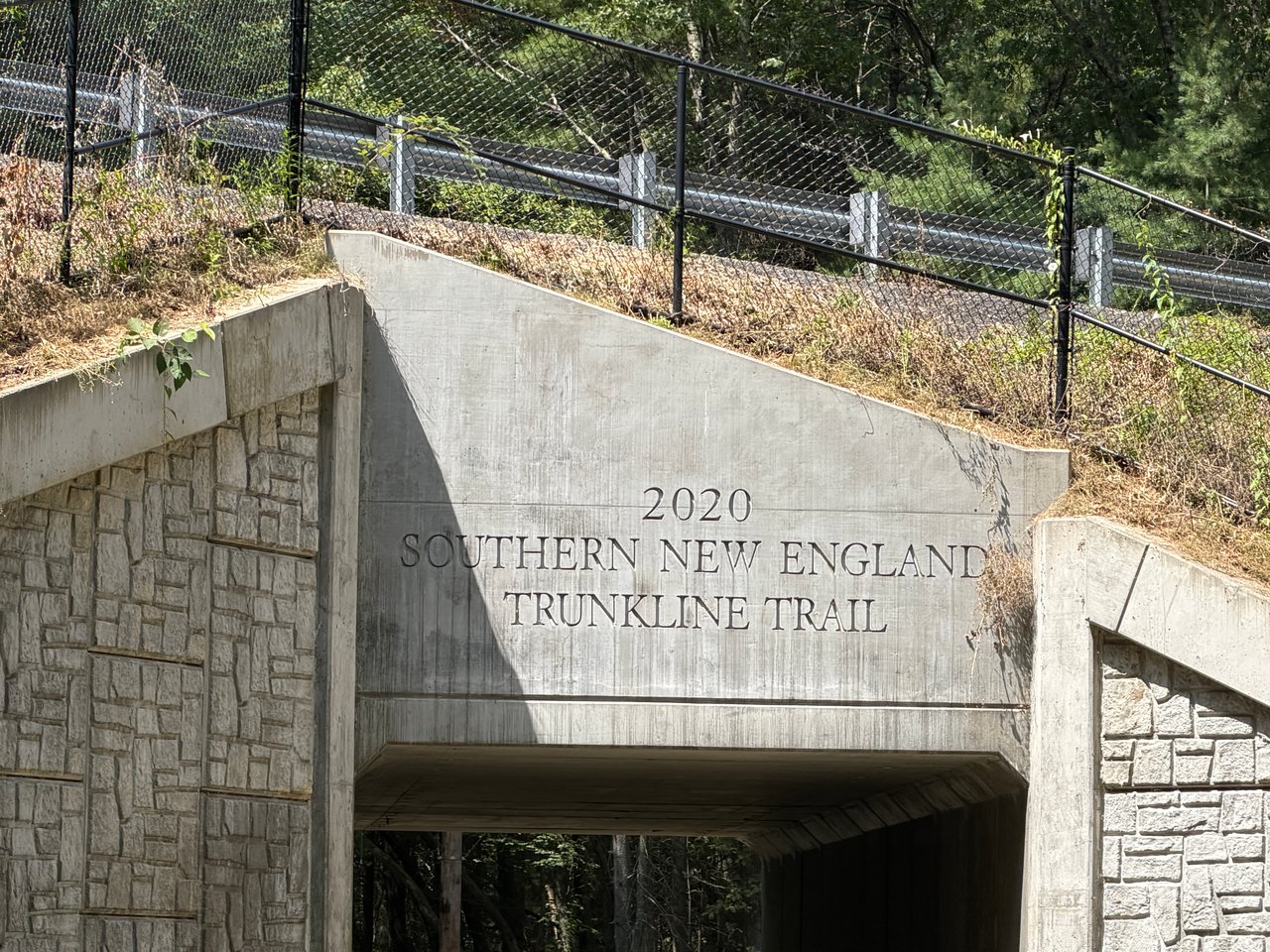
Southern New England Trunkline Trail in Bellingham, MA
A local guide to one of Bellingham’s most scenic rail-trail escapes, including what to see and where to park.
A Quiet Rail-Trail With Big Regional Reach
The Southern New England Trunkline Trail, often called the SNETT, is one of southeastern Massachusetts’ great long-distance trail corridors. In Bellingham, the trail offers an easy way to step into a natural, shaded, and historic landscape without traveling far from town. It follows a former railroad route and forms part of a roughly 22-mile recreational trail running between Franklin State Forest and Douglas State Forest, passing through Franklin, Bellingham, Blackstone, Millville, Uxbridge, and Douglas.
What Makes the Bellingham Section Special
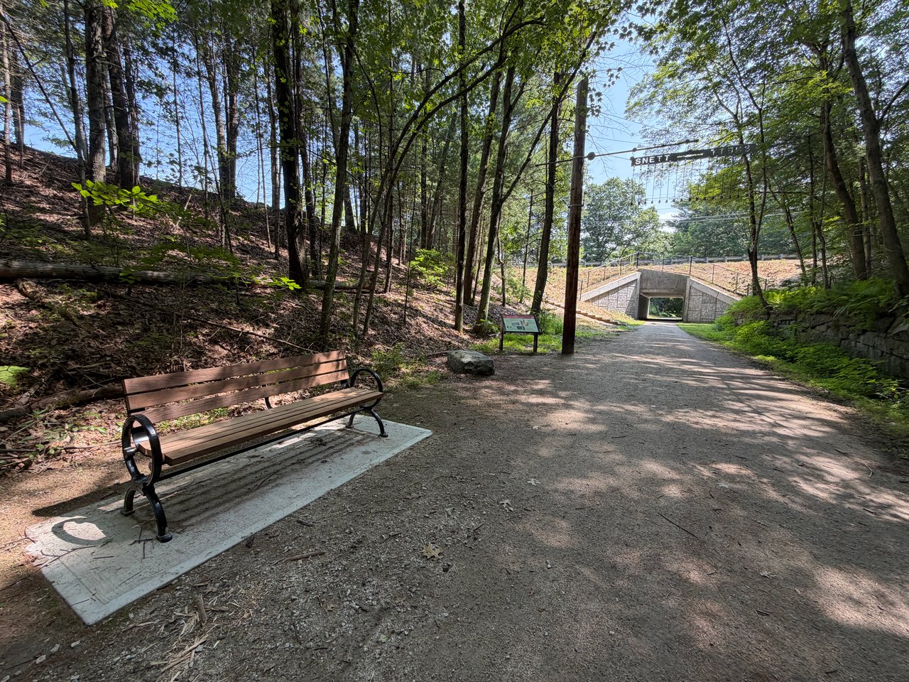
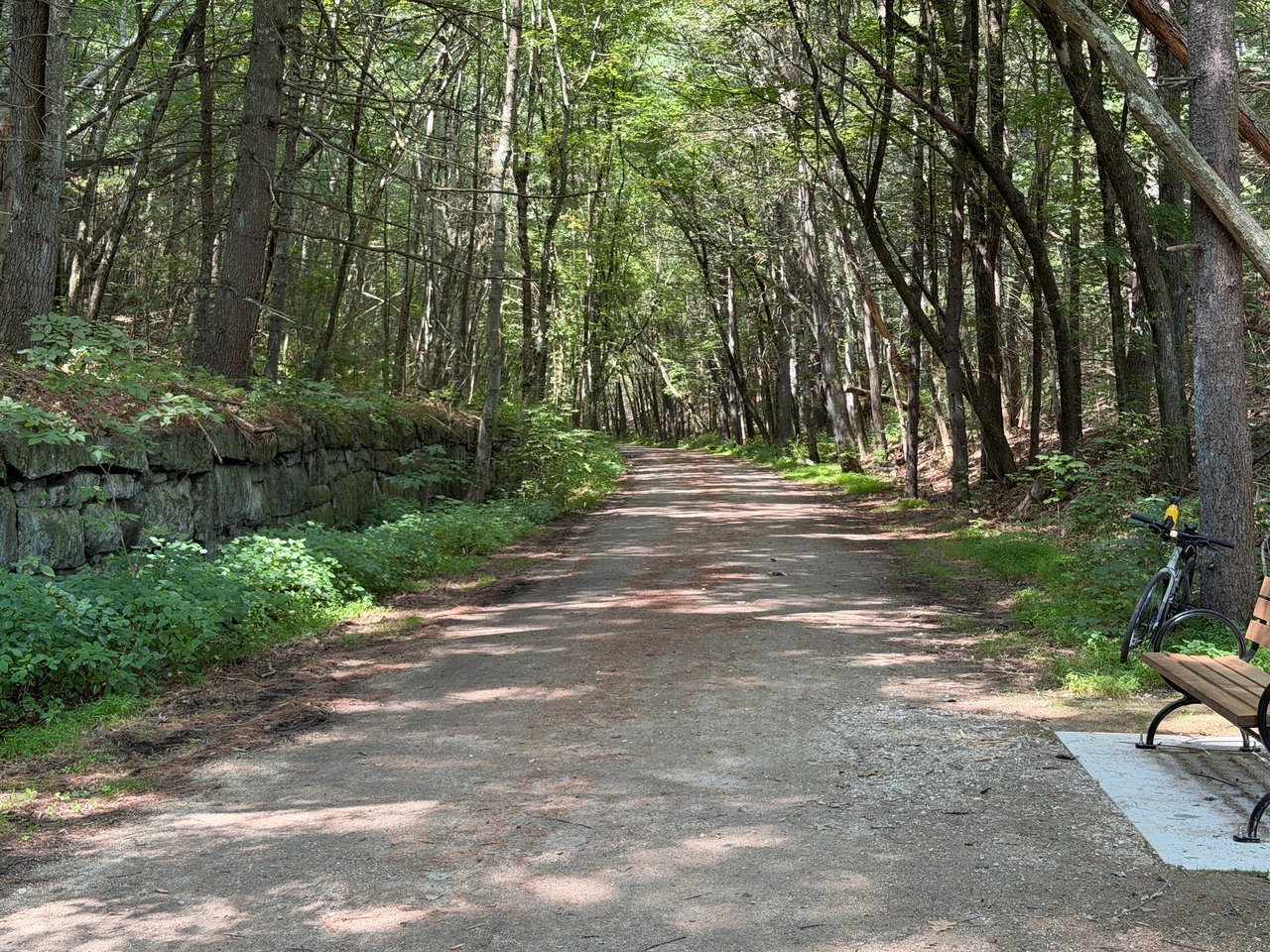
The Bellingham portion feels more rustic than a paved suburban bike path, and that is part of its charm. Much of the trail has a stone-dust, hard-packed dirt, gravel, or unimproved surface, making it especially appealing for walkers, trail runners, hikers, nature lovers, and riders with mountain bikes or wider tires. The route is relatively flat because it follows the old rail bed, so it is approachable for a relaxed outing while still feeling like a real trail adventure.
One of the best features is the sense of green separation. In places, the trail slips behind neighborhoods and roads into a wooded corridor where the old railroad right-of-way creates a straight, calming path through trees, wetlands, and quiet edges of town. It is the kind of route that works well for a quick morning walk, an after-work reset, a weekend family outing, or a longer ride that continues toward Franklin or west toward the Blackstone Valley.
Distance and Trail Connections
The full SNETT is about 22 miles long, and the Bellingham section sits near the eastern end of that regional route. TrailLink notes that the overall trail is approximately 21.8 miles, while Mass.gov describes it as a 22-mile trail through six towns. For a shorter Bellingham-focused outing, the stretch between Prospect Street near the Franklin line and Center Street in Bellingham is commonly described as about 1.5 miles with a stone-dust surface. From Bellingham, trail users can continue east toward Grove Street in Franklin or head west toward Blackstone and the broader Blackstone River Valley trail network.
Things to Enjoy Along the Way
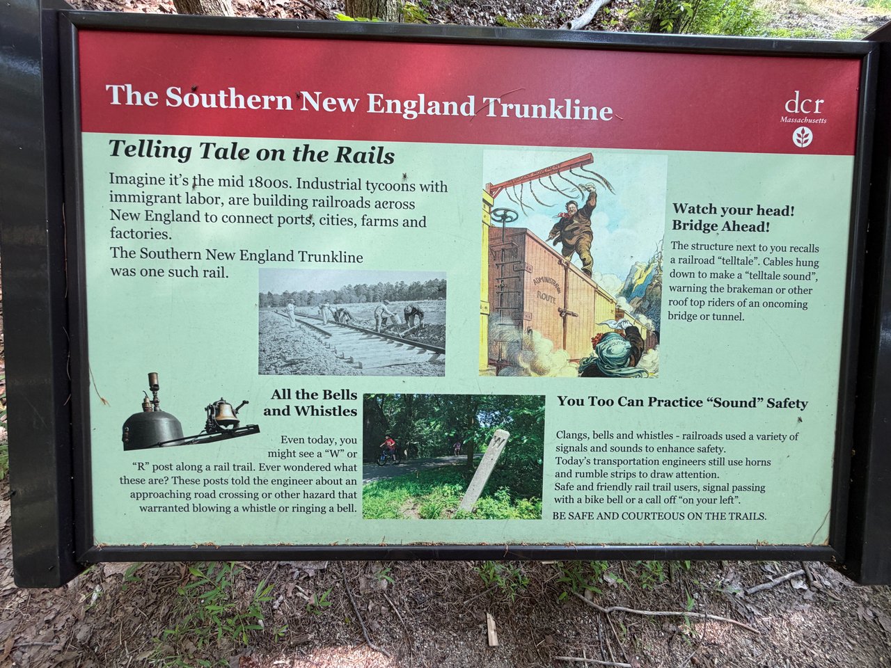
· Rail-trail history: The SNETT follows part of a former railroad corridor, giving the route its straight alignment and gentle grades.
· Wooded scenery: The Bellingham section feels tucked away, with tree cover and natural edges that make it feel peaceful even near town roads.
· Year-round recreation: The trail is used for walking, running, hiking, biking, cross-country skiing, snowshoeing, horseback riding, and nature exploring where conditions allow.
· A rustic trail experience: Unlike fully paved rail trails, this section has a more natural feel, which can be a plus for people who enjoy quieter, less formal paths.
· Regional adventure potential: Because the SNETT stretches across multiple towns, Bellingham can be the starting point for anything from a short walk to a longer point-to-point ride.
Where to Park in Bellingham
Lake Street access: A small unpaved parking area is located on the east side of Lake Street and is commonly noted as holding about 5 to 6 cars. The trail entrances are near large boulders on both sides of Lake Street, making this a practical access point for an out-and-back walk or ride.
Center Street and Fox Run Road access: Another useful Bellingham parking option is the lot at the corner of Center Street and Fox Run Road, directly across from the Center Street trail entrance. Use the crosswalk to reach the trail. This access works well for exploring the Center Street area or heading east toward Lake Street, Prospect Street, and Franklin.
Nearby Franklin option: If the Bellingham lots are full or you want to begin farther east, the Grove Street trailhead in Franklin has a paved parking lot that holds roughly 10 cars. From there, the trail heads west toward Bellingham and beyond.
Tips Before You Go
· Wear sturdy shoes or use a bike with tires suited to stone dust, packed dirt, gravel, and occasional rough spots.
· Expect conditions to vary with weather; wet areas, ruts, roots, and uneven surfaces may appear in rustic sections.
· Use extra caution at road crossings, including Lake Street, Center Street, and connections toward Prospect Street.
· Check local trail updates before planning a long-distance ride, since portions west of Bellingham can be rougher or discontinuous.
· Carry water, especially in warmer weather, because amenities are limited along the trail.
Why It’s Worth Visiting
The Southern New England Trunkline Trail in Bellingham is ideal for anyone who likes a trail that feels local, quiet, and connected to something larger. It is simple enough for a short walk, rugged enough to feel interesting, and long enough to invite repeat visits. Whether you start at Lake Street, Center Street, or nearby Grove Street in Franklin, the SNETT offers a refreshing way to explore Bellingham’s natural side while following one of Massachusetts’ longest rail-trail corridors.
Southern New England Trunkline Trail Franklin Trailhead
http://www.franklinbellinghamrailtrail.org