If you are house hunting in Grafton, one question can shape your whole search: which village fits your daily life best? North Grafton, Grafton Center, and South Grafton each offer a different rhythm, and the right choice often comes down to how you want to live day to day. This guide will help you compare the three areas, understand what the town itself says about each one, and spot the clues that matter when you read listings. Let’s dive in.
Grafton’s three-village layout
Grafton is a semi-rural town in east central Massachusetts, southeast of Worcester. Town planning documents describe its village centers as mixed-use places where residential, civic, cultural, and commercial uses sit within walking distance.
That said, not every part of town feels the same. North Grafton, Grafton Center, and South Grafton each have distinct planning patterns, traffic conditions, and recreation access that can affect your daily routine.
A key detail for buyers is that street address matters more than the town name alone. Grafton’s own town pages often label places specifically as North Grafton or South Grafton in the address field, so it helps to look beyond the mailing city and focus on the exact location.
North Grafton at a glance
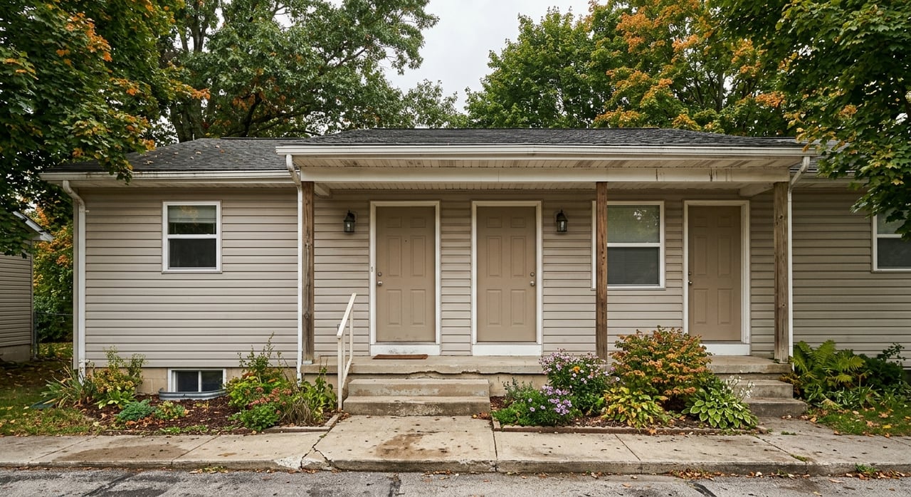
North Grafton is best understood as Grafton’s transit-oriented and more commercially industrial side. The town’s planning work centers this area around the commuter rail station and nearby land that may support a more mixed-use future.
At the same time, North Grafton is still evolving. Town planning materials note that much of the area remains zoned or used in ways that reflect industrial and nonconforming conditions, rather than a fully mature village center.
What daily life feels like in North Grafton
If commuting is one of your top priorities, North Grafton may stand out first. Grafton Station sits on the Framingham/Worcester line between Worcester and Westborough, which gives this part of town a practical draw for riders.
Still, the town’s 2025 master plan says first-and-last-mile access remains a real issue. It also notes that the station area is not yet a fully walkable destination district, so convenience here may depend more on your car than you expect.
The same master plan says North Grafton tends to feel busier than the Center or South Grafton. Traffic congestion can be part of the experience, especially if you are looking for a quieter village feel.
Outdoor access in North Grafton
North Grafton also offers useful recreation access, especially if you like easy launch points for the water. Ekblaw Landing at 111 Worcester Street is described by the Recreation Department as a kayak and canoe launch for Snow Marsh and Lake Ripple.
Other nearby recreation areas include Airport Park and Perry Hill Park. Together, these features make North Grafton feel practical and activity-oriented, even while the broader village setting continues to change.
Grafton Center at a glance
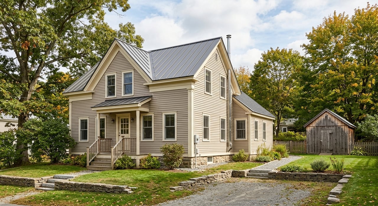
Grafton Center is the town’s traditional New England center, built around the Town Common. If you picture a classic common, surrounding civic buildings, and a historic core, this is the part of town that most closely matches that image.
The Grafton Common Historic District was established in 1981 and includes the common and surrounding buildings. The town describes it as one of the most intact commons in Massachusetts, and its 2025 master plan highlights the area’s historic charm and community importance.
What daily life feels like in Grafton Center
Compared with North Grafton, the Center is more about small-scale convenience and local activity. The town says businesses here tend to be small and service- or retail-oriented, and pedestrian infrastructure is good.
The overall feel is also quieter in everyday moments. According to the master plan, weekday mornings can feel calm before events on the common bring more energy back to the area.
For many buyers, that balance can be appealing. You get a traditional town-center setting without the heavier industrial feel noted in North Grafton.
Outdoor access in Grafton Center
Outdoor space in the Center is tied closely to the civic core. Grafton Common offers open lawn space and a gazebo, while Lake Ripple behind the Municipal Center provides another nearby recreation point.
This is not the part of town most defined by long trail systems or river launches. Instead, it offers open space that is woven into the center of town life.
South Grafton at a glance
South Grafton is the mill-village corridor. Town planning documents focus on Saundersville, Fisherville, and Farnumsville as historic mill villages that grew out of Blackstone River power and still retain workers’ housing and other older buildings from the mill era.
The 2025 master plan says South Grafton remains rooted in those mill origins. It also notes that many older buildings remain and that preservation and reuse are ongoing priorities in the area.
What daily life feels like in South Grafton
If you are comparing practical daily routines, South Grafton is described by the town as more car-dependent than the Center. Residents often rely on cars for routine needs, even though the area is connected by Providence Road, Main Street, and the South-to-North corridor.
Those routes link South Grafton to Worcester, Shrewsbury, Westborough, and the rest of town. At the same time, the town notes that sidewalk and bike improvements have started to make parts of the village core more connected and more walkable.
For some buyers, that means South Grafton can offer a mix of historic character and improving access, but not the same town-center pattern as Grafton Center.
Outdoor access in South Grafton
South Grafton is especially strong if you want river access and historic-industrial character. Mill Villages Park at 61 Main Street and Riverview Park at 176 Providence Road both support that identity, and Riverview Park includes canoe and kayak launches.
Town planning documents also emphasize the Blackstone River, the Blackstone Canal, and a linked greenway and trail network through this corridor. If outdoor access is a major priority, South Grafton has a distinct profile.
Comparing the three villages
Each village tells a different story. A simple way to think about them is this: North Grafton leans toward convenience and transit, Grafton Center leans toward character and walkability, and South Grafton leans toward mill-village setting and river access.
Here is a quick side-by-side comparison:
| Village | Best known for | Daily feel | Notable access |
|---|---|---|---|
| North Grafton | Transit focus and evolving mixed-use plans | Busier, more commercial, can be congested | Commuter rail station, Ekblaw Landing, nearby parks |
| Grafton Center | Historic common and traditional town center | Quieter, pedestrian-friendly, small-scale activity | Town Common, Lake Ripple, civic core |
| South Grafton | Mill-village character and river corridor | More car-dependent, improving local connections | Riverview Park, Mill Villages Park, Blackstone corridor |
How to read Grafton listings better
One of the smartest ways to shop in Grafton is to use street patterns and planning context, not just the town name on a listing. That can help you understand what a property’s surroundings may actually feel like.
For example, Pine Street, Westboro Road, and the station area usually point to North Grafton territory. The town is actively pursuing transit-oriented redevelopment near 8 Pine Street and the commuter rail station, so those addresses may fit buyers who want to stay close to that growth pattern.
Town Common, Town Hall, Providence Road near the center, and nearby Upton Street are stronger clues for Grafton Center. If you are hoping for a more traditional village setting, these are the kinds of locations worth a closer look.
Main Street or Route 122A, Ferry Street, Depot Street, Pleasant Street, Belmont Street, River Avenue, and Canal Street often point to South Grafton’s mill-village corridor. These addresses may line up better with buyers looking for river access, older building patterns, or a mill-village backdrop.
Use the town’s map tools before you decide
Before you fall in love with a home, it helps to verify its setting with the town’s GIS and mapping tools. According to the town, those resources include land use, wetlands, zoning, aerial imagery, assessors maps, historic district maps, scenic roads, street maps, and zoning maps.
That matters in Grafton because overlays and district boundaries can affect how an area functions. The zoning framework includes a North Grafton Transit Village overlay and other overlay districts that may shape how nearby parcels can be used.
For buyers and sellers alike, this is where local detail makes a difference. A home can be in Grafton, but its exact street, village context, and planning area can tell you much more about everyday life around it.
Which village may fit you best?
If your top priority is commuter access and you are comfortable with a busier setting, North Grafton may deserve the first look. If you are drawn to a classic common, pedestrian infrastructure, and a historic civic center, Grafton Center may feel like the strongest match.
If you want mill-village character, river access, and a setting shaped by the Blackstone corridor, South Grafton may be the better fit. None of these villages is universally “best.” The right choice depends on what you want your mornings, errands, recreation, and commute to look like.
That is where local guidance can save you time. When you compare villages through the lens of your real routine, your home search usually gets clearer fast.
If you want help narrowing down the right part of Grafton for your move, CENTURY 21 can help you compare locations, decode listings, and search with more confidence.
FAQs
What is the difference between North Grafton and Grafton Center?
- North Grafton is more transit-oriented and commercially industrial in character, while Grafton Center is the traditional town center around the common with smaller-scale businesses and good pedestrian infrastructure.
Is South Grafton more car-dependent than other parts of Grafton?
- Yes. The town’s 2025 master plan says South Grafton residents are more dependent on cars for routine needs, though sidewalk and bike improvements have started to improve connectivity around the village core.
Which part of Grafton has commuter rail access?
- North Grafton includes Grafton Station on the Framingham/Worcester line, located between Worcester and Westborough.
Which Grafton village is closest to river access?
- South Grafton is the strongest match for river access, with features like Riverview Park, Mill Villages Park, and the broader Blackstone River and canal corridor.
How can you tell whether a home is in North, Center, or South Grafton?
- The best way is to check the exact street address and verify the location with the town’s GIS, zoning, assessors, street, and historic district maps, since the village context is often clearer than the town name alone.